By using low frequency radio waves in tandem with GNSS-based methods researchers from AAU have participated in the design and development of a proof-of-concept that enables positioning and navigation services in challenging scenarios such as deep inside of buildings and heavily built up environments, areas where solely current GNSS-based methods cannot be effectively used.
“The system offers huge potential delivering key benefits to the users, the emergency service responders, and should be further investigated. Crises and difficult environments are a challenge for the current positioning systems, and this study is a big initial step towards making more precise localization systems,” says Ignacio Rodriguez Larrad, Assistant Professor at Department of Electronic Systems.
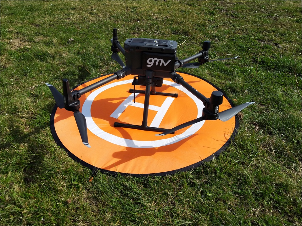
Improved localization is enabled through the installation of low frequency transmitters around and in proximity of the disaster area, allowing signal propagation into buildings. The transmitters do not need to be fixed in their location and can be hosted by drones/UAVs along with other ad-hoc quickly deployable platforms.
The designed system also offers flexibility from a topology and configuration perspective, allowing to vary the number of transmitters depending on the localization needs or the temporal evolution of the emergency situation.
A DUO SYSTEM
The objective of the project has been to develop a radio system capable of surpassing the limitations imposed by crisis modes that cause conventional navigation and positioning systems not to be suitable for crisis management, which include - but are not limited - to no access to a reliable power source, non-predictable end user surroundings in terms of structures and materials, the need for fast system deployment time and the need for light devices at transmission and reception in terms of size and weight.
The developed system is composed by two main segments: the platform-driven segment, which generates the radio signals which carry navigation and communication information; and the user-driven segment, which may be installed to any relevant asset, and interprets the received signals to self-position in space.
“This concept can be used by first responders or companies working in difficult terrains and environments prone to landslides, avalanches, floodings and other natural phenomenon. It can be also applied to challenging environments such as dense urban scenarios. The important part now is continuing the research to develop it further,” says Ignacio Rodriguez Larrad.
The proof-of-concept devices make use of low frequencies to operate signals containing positioning information. Specifically, the receiver is based on a compact and portable computer device and the transmitter is based on a battery-powered device that can be mounted onto any terrestrial moving or flying vehicle e.g. cars, trucksdrones/UAVs.
Experimental tests were carried out in UK, considering a transmitter mounted on a state-of-the-art high-end drone, flying relevant system geometries, providing navigation signals to receivers deployed inside a number of target buildings made of different materials.
A public presentation of the project results will take place in an ESA online event on 10/06.
Public event announcement at the ESA portal: https://navisp.esa.int/event/details/69/show
For more information please contact:
Ignacio Rodriguez Larrad, Assistant Professor at Department of Electronic Systems.
Melisa Maria Lopez Lechuga, Postdoc at Department of Electronic Systems.
Mads Sejer Nielsen, Communications Officer & Journalist, Department of Electronic Systems.
